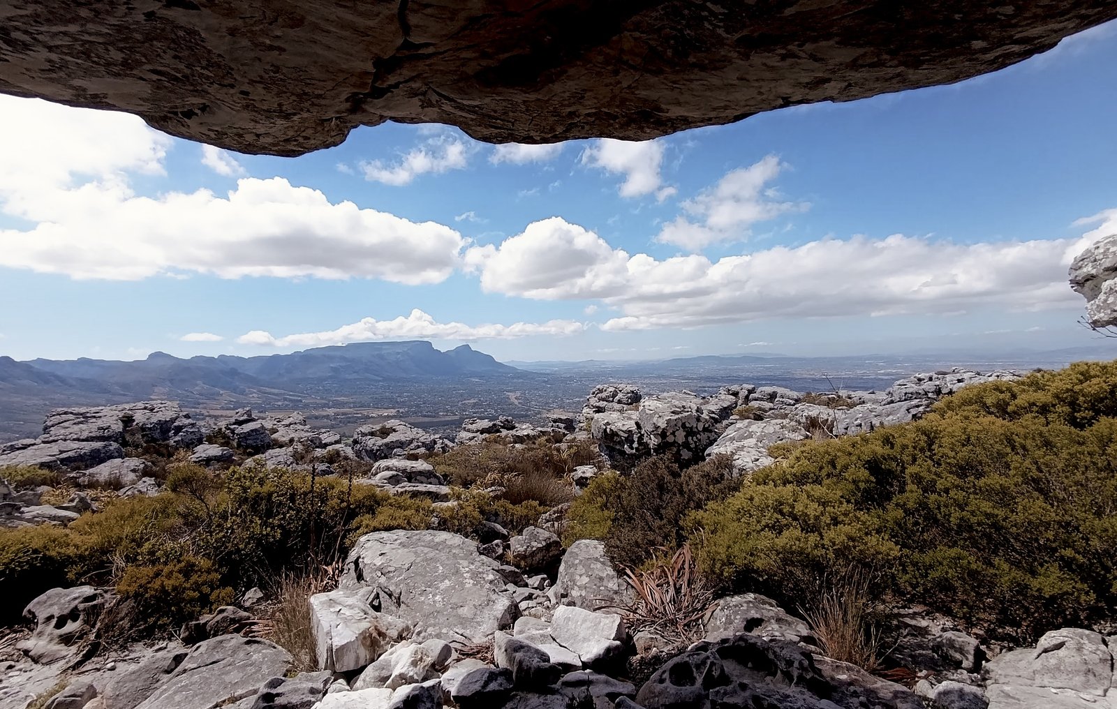
#11 Southern Peaks
The Deep South showing off, with coastal views, colourful fynbos and peaks worth a beacon hug. Rocky sections keep things interesting, while sandy single tracks let you find your flow. A little less famous, every bit deserving of your attention.
Route information
Last verified · 1 November 2026
Why it made the challenge
Why we chose it
The Deep South peaks deserve their moment too. This route brings together views towards Noordhoek and False Bay, beautiful fynbos and a mix of rocky mountain paths and lovely runnable stretches. Plenty of adventure without one relentless climb, and a reminder of how much there is to explore on this side of the mountain.
Scenic highlights
- Views towards both Noordhoek and False Bay.
- Three peaks, with plenty of variety between them.
- Lovely runnable stretches between the rockier sections.
- Beautiful fynbos, seasonal flowers and some wonderfully funky rock formations.
Key challenges
- A few important turn-offs are faint or unmarked. Keep the downloaded route handy and pay attention to the checkpoints.
Step-by-step navigation guide
- 0.0 km
Start
Head towards Higher Steenberg Peak
Start your watch at the trail information board and take the single track to your right towards Higher Steenberg Peak.
- 1.1 km
Look for the rocky path on your left
Look for an unmarked rocky path heading uphill to your left. There are a few small intersections here, so keep an eye on your distance. Follow this path up to Higher Steenberg Peak.
At 1.68 km, look for the path between the rocks to your right and follow it downhill to the gravel road.
- 3.0 km
Turn left onto the gravel road
Join the gravel road and turn left. After roughly 500 m, look out for a fork and keep right, then follow the small single track straight ahead of you as it heads uphill.
- 3.74 km
Keep right at the plateau
At the plateau, continue uphill to your right onto the slightly rocky section. Follow this path all the way to Muizenberg Peak.
- 4.4 km
Muizenberg Peak
Give the beacon a hug and take in the views. As you descend the rocky section from the summit, look for the path on your left heading down towards Peck's Valley.
- 5.0 km
Continue straight
Continue straight through the small crossroads and follow the path for another 300 m.
You will see a small sandy path on your left. Let that one go and take the second sandy path on your left, which leads up to the peak.
- 5.3 km
Follow the sandy path
Follow the straight sandy path all the way towards St James Peak.
- 6.2 km
St James Peak
Another peak, another beacon hug! Enjoy the views, then head back along the same path for approximately 400 m.
- 6.6 km
Take the rocky path on your left
Look for a faint rocky single track branching off to your left and heading slightly uphill. It soon opens into a lovely sandy single track leading back towards the main gravel road.
- 7.0 km
Pass Muizenberg Cave
Pass Muizenberg Cave on your left and continue straight. Enjoy the flowers and funky rock formations along the way.
- 7.6 km
Turn left onto the gravel road
Turn left onto the gravel road and follow it all the way down to the parking area. Finish at the same trail information board where you started and stop your watch. Three peaks and a proper dose of Deep South mountain magic, nicely done!
Important
Park at Silvermine Gate 2, on the eastern side of Ou Kaapse Weg.
-34.09164, 18.42308
Open in Google MapsThe parking area opens at 08:00 and closes at 18:00 year-round, including in summer. Be back before closing so you don't get locked in.
Don't leave valuables in your car. There have been recent break-ins. Leave nothing tempting on display.
If you'd like to tip the car guard, bring cash. Don't rely on cellphone payments.
Very limited across most of this route. There is some reception up at Muizenberg Peak and patchy bits on the main gravel road. Load the GPX onto your tracking device before you start.
Agree an exact time and place to meet your mate to avoid confusion.
- Route information is provided as a guide only.
- Conditions may change without notice.
- Always assess weather, trail conditions, route suitability, and your own abilities before setting out.
- Participants are responsible for their own safety and decisions at all times.
The record board for this route.
Verified completions only, one row per athlete using their best accepted attempt. Climb the board by returning and improving your time.
Loading…
Before you go
Practical details to help you complete the route safely.
No reliable drinking water on the route. Carry what you need.
Dogs are allowed, but a permit is required. Rangers do random permit checks at the entrance from time to time.
Gate 2 parking area opens at 08:00 and closes at 18:00 year-round, including in summer. Be back before closing so you don't get locked in.
SANParks Emergency: 086 110 6417
From the Trail
A little glimpse of the route through the eyes of the Cape Trail community.
Got a good one? Share your photos with us and we might add our favourites to the gallery.
Your photos will open in our shared Google Drive folder. By uploading them, you're happy for Cape Trail to select and feature them on this website and our social channels, with credit where possible.
Safety & responsible trail use
Cape Trail provides guidance, not guarantees. Please read before heading out.
Water sources shown on routes are seasonal and may be dry. Never rely on natural water sources, always carry sufficient water.
Trail conditions may change due to weather, erosion, maintenance work, fire, flooding, or other environmental factors.
Route descriptions and photographs are provided as guidance only. Users remain responsible for navigation and route-finding decisions.
Mountain weather can change rapidly. Users are responsible for checking conditions before starting.
Users participate entirely at their own risk.
Related routes
More trails in the challenge.
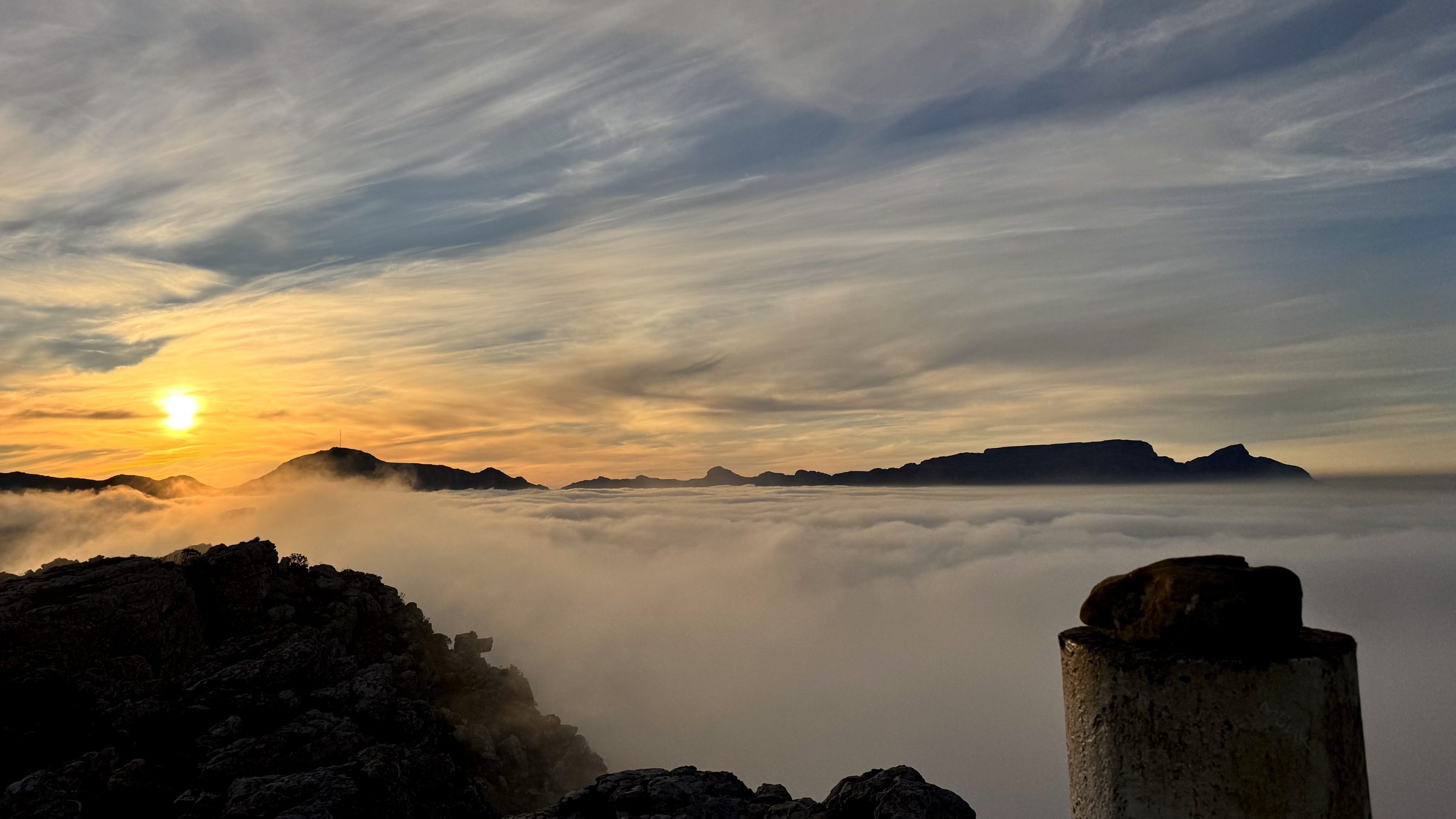
#1 Muizenberg Peak
Muizenberg, Cape Peninsula
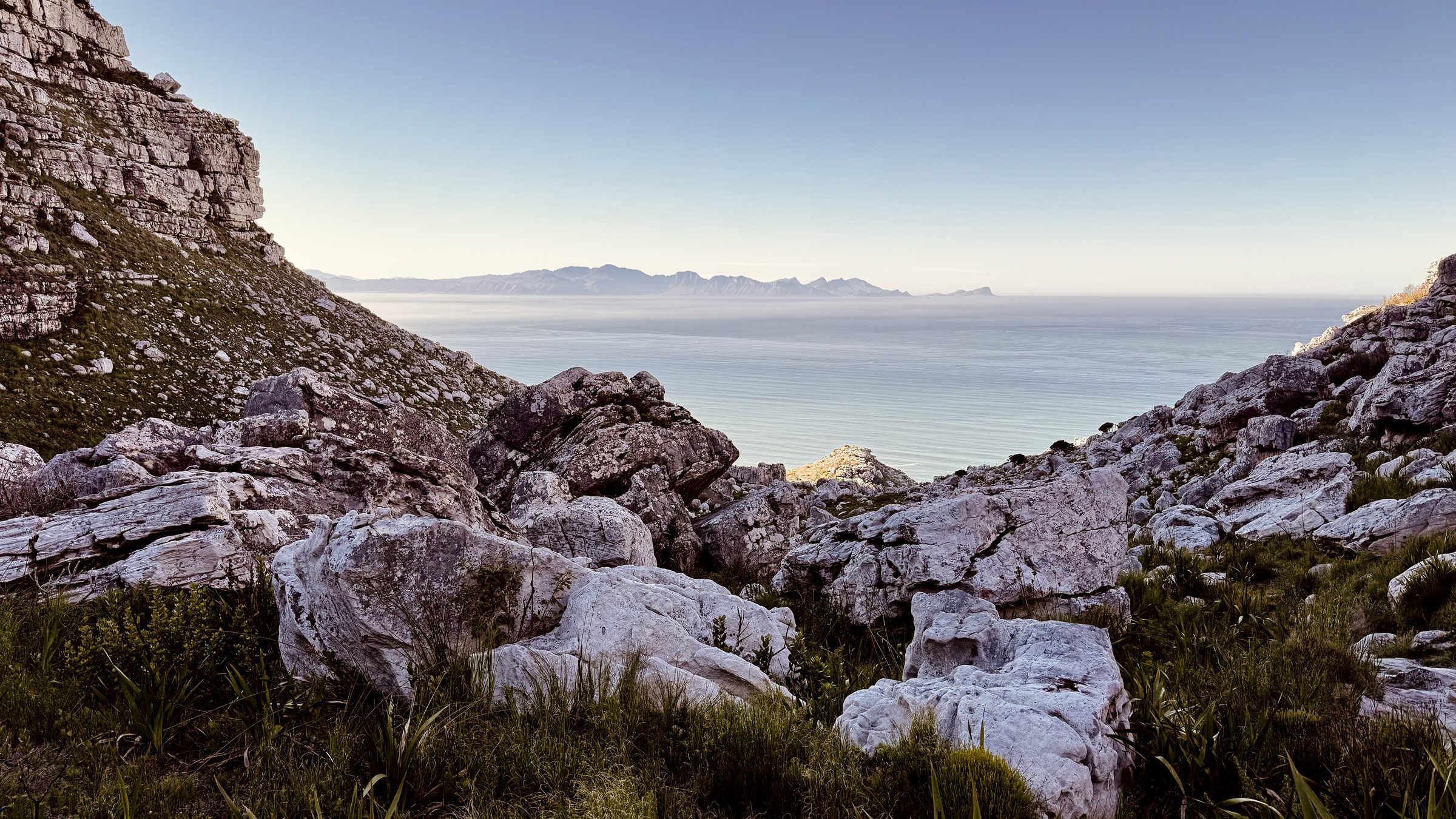
#2 Magic Forest
Echo Valley, Cape Peninsula
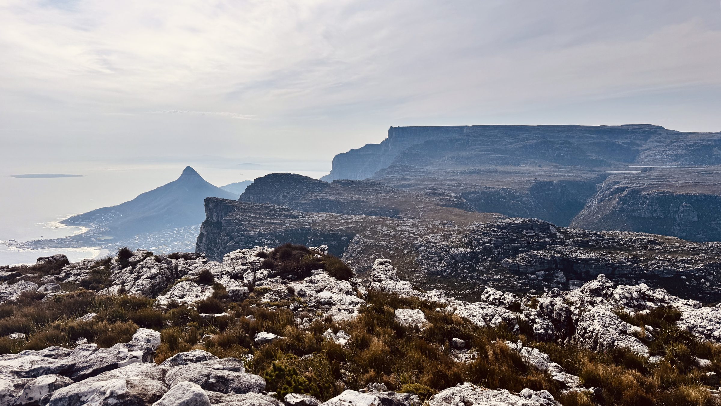
#12 The Groot Half
Constantia Nek, Table Mountain