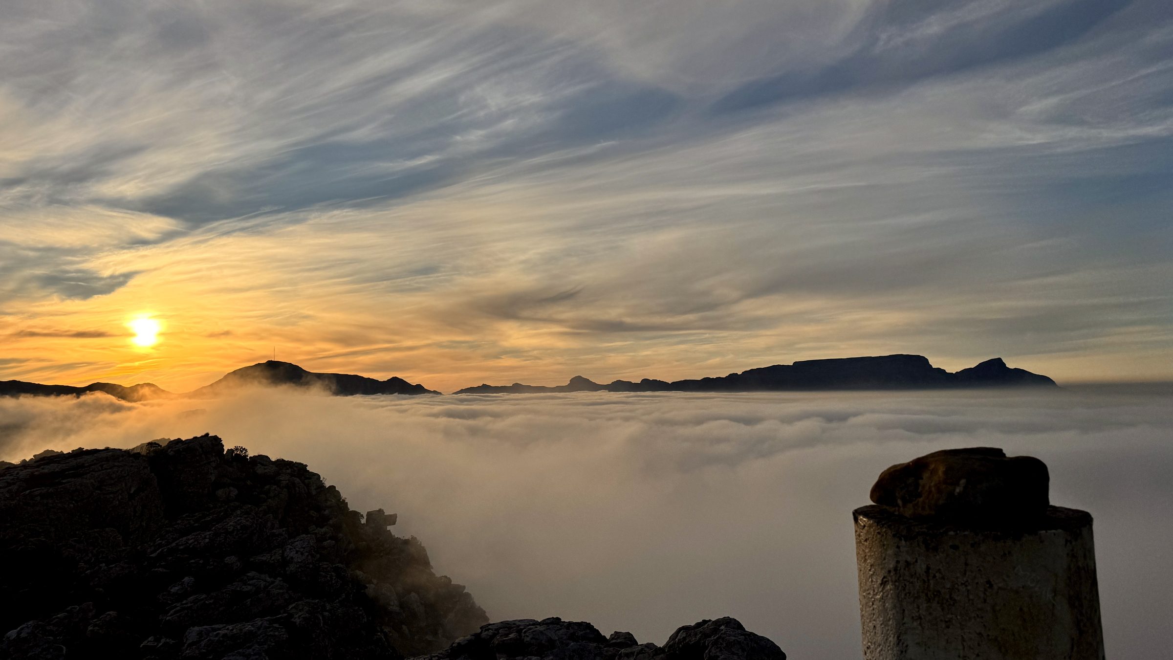
#1 Muizenberg Peak
A short punchy climb above Muizenberg with big views across False Bay. Test your legs, chase your time and come back to beat it.
Route information
Last verified · September 2026
Why it made the challenge
Why we chose it
Muizenberg Peak was the first real Cape Trail route, and for good reason. It challenges you from the bottom to the top, but it is short enough to come back and try again. There is always an opportunity to push a little harder, improve your time and see what you can do. Once you reach the top, the views make the effort very much worth it.
Scenic highlights
- False Bay panorama from the top
- Views towards Noordhoek Beach
- Broad views across both sides of the peninsula
Key challenges
- Sustained climb, especially from the beginning
- Exposed upper section
Step-by-step navigation guide
- Photo coming soon0.0 km
Trailhead
From the top of the stairs off Boyes Drive, follow the path into Peck's Valley.
- Photo coming soon0.5 km
Into the valley
The trail settles into Peck's Valley, a fynbos path with False Bay opening up behind you.
- Photo coming soon0.9 km
The steep pitch
The climb picks up here, a sustained push over loose rock and sandstone. This is the toughest stretch of the route.
Loose underfoot in places. Take it slower on the way down than on the way up. - Photo coming soon1.7 km
Second rise
A short levelling off before one more push to the top. A good spot to catch your breath.
- Photo coming soon2.05 km
Muizenberg Peak
The top. False Bay stretches out below, with views reaching towards Noordhoek on a clear day.
- Photo coming soon4.1 km
Back at the trailhead
Retrace the same path back down. Save your activity once you're back at the stairs.
Important
- Route information is provided as a guide only.
- Conditions may change without notice.
- Always assess weather, trail conditions, route suitability, and your own abilities before setting out.
- Participants are responsible for their own safety and decisions at all times.
The record board for this route.
Verified completions only, one row per athlete using their best accepted attempt. Climb the board by returning and improving your time.
Loading…
Before you go
Practical details to help you complete the route safely.
The easiest option is to park near Muizenberg Park and walk up the stairs to Boyes Drive and the trailhead.
The climb is steep, with some exposure higher up. Avoid the route in strong wind or fog.
Do not rely on water along the route. A stream runs through Peck's Valley, but it is mainly seasonal during the wetter winter months.
Generally good, although reception can be patchy in places.
Dogs are allowed, but SANParks requires dog walkers to have a valid My Activity Permit.
Sunrise to sunset, based on trailhead signage.
SANParks Emergency: 086 110 6417
From the Trail
A little glimpse of the route through the eyes of the Cape Trail community.
Got a good one? Share your photos with us and we might add our favourites to the gallery.
Safety & responsible trail use
Cape Trail provides guidance, not guarantees. Please read before heading out.
Water sources shown on routes are seasonal and may be dry. Never rely on natural water sources, always carry sufficient water.
Trail conditions may change due to weather, erosion, maintenance work, fire, flooding, or other environmental factors.
Route descriptions and photographs are provided as guidance only. Users remain responsible for navigation and route-finding decisions.
Mountain weather can change rapidly. Users are responsible for checking conditions before starting.
Users participate entirely at their own risk.
Related routes
More trails in the challenge.
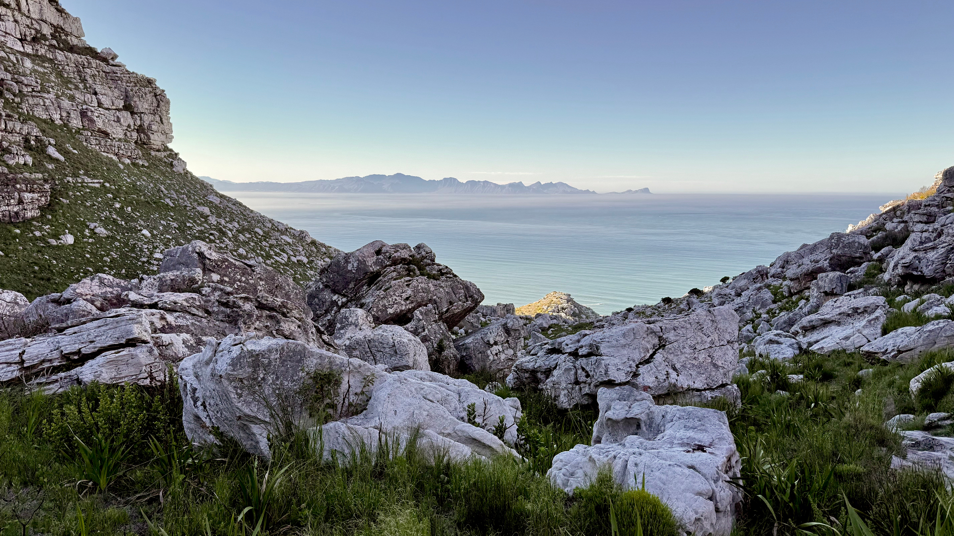
#2 Magic Forest
Echo Valley, Cape Peninsula
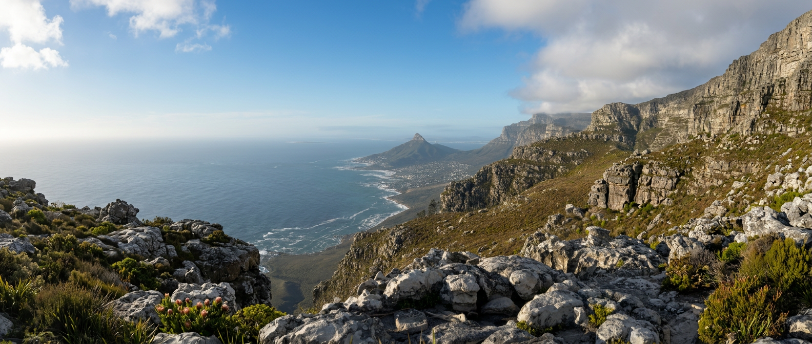
#12 The Groot Half
Constantia Nek, Table Mountain
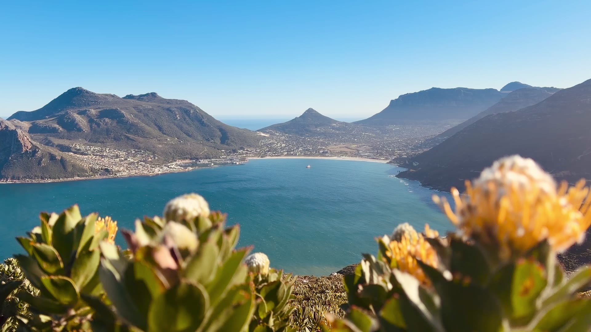
#10 Noordhoek Twin Peaks
Noordhoek, Cape Peninsula