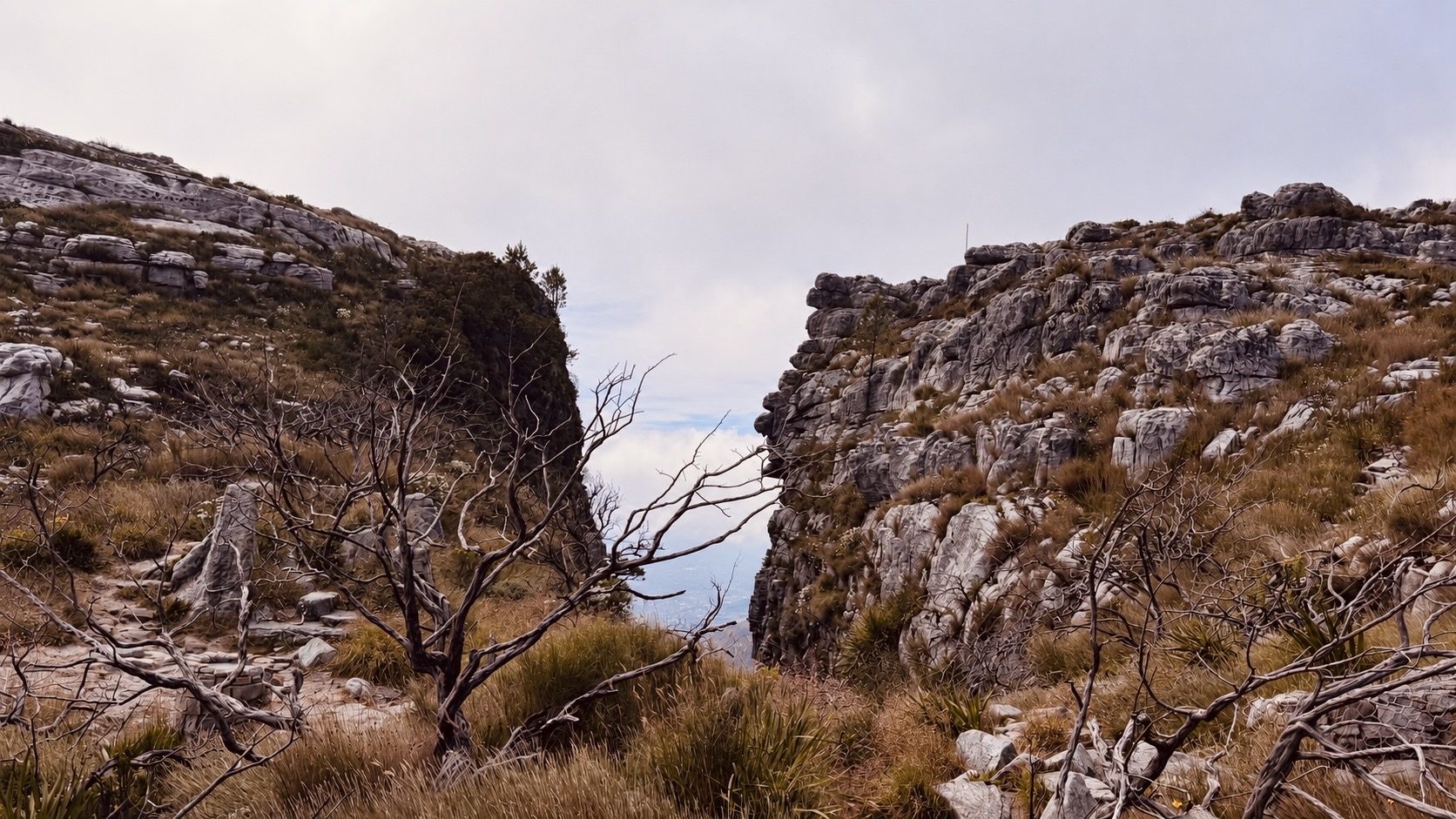
#6 Plattequick
A Table Mountain classic with roughly 700 m of climbing and very little sympathy for your quads. Big city views and a proper sense of achievement await at the top. That’s where the clock stops and your summit time begins.
Route information
Last verified · October 2026
Why it made the challenge
Why we chose it
The holy grail of Table Mountain hikes had to make the list. A punchy climb to come back to, find your rhythm and see your progress, with city views that give you a very good excuse to stop. Only the way up counts, leaving you time for a summit stroll, a selfie or a well-earned coffee. Make sure you plan your way down, either the same way you came up, the cableway or a different Table Mountain route. How you enjoy your time at the top of the mountain is up to you.
Scenic highlights
- A quick-to-access training climb right above the city, perfect for returning to improve your time.
- Easy access, with parking along Tafelberg Road near the trailhead.
- Beautiful views over Cape Town and Table Bay.
Key challenges
- Can get very busy, especially on weekends. Be patient when passing other hikers.
- Steep and demanding, with big elevation gain over a short distance.
- Very little shade: the exposed climb can get seriously hot.
- Conditions at the top can be cold and windy, even when it’s warm below. Bring water and a warm, windproof layer.
- Plan your return before setting off. The challenge finishes at the top, but you still need to get down.
Step-by-step navigation guide
- 0.0 km
Start
Let the climbing begin
Park along Tafelberg Road near the Platteklip Gorge trailhead. Start your tracker at the information board and follow the path uphill, following signs for Platteklip Gorge.
Settle into a steady rhythm. You’ve got plenty of climbing ahead.
The climb
Keep heading up
Follow the signs for Platteklip Gorge as the path zigzags up the mountain. One step after another. You’re getting there!
Remember to drink, catch your breath and look back occasionally. Those city views deserve some attention too.
- 2.1 km
Finish
You made it, you legend!
Go all the way to the engraved stone route marker shown in the photo, give it a tap and stop your watch. Your challenge finishes here!
Have a snack, catch your breath and enjoy being on top of Table Mountain. A stroll, a visit to Maclear’s Beacon, some photos or a coffee. How you spend your summit time is up to you.
Only the climb counts towards the leaderboard. Your result uses elapsed time, not moving time, from the starting board to the stone route marker. Breaks during the climb count; your summit snack is off the clock.
Don’t forget to publish your result to the Cape Trail leaderboard, and if you got some good photos out there, share them on Instagram or add them to the community photo folder below.
Route Highlights
A few more reasons to add this route to your list.
Important
- Route information is provided as a guide only.
- Conditions may change without notice.
- Always assess weather, trail conditions, route suitability, and your own abilities before setting out.
- Participants are responsible for their own safety and decisions at all times.
The record board for this route.
Verified completions only, one row per athlete using their best accepted attempt. Climb the board by returning and improving your time.
Loading…
Before you go
Practical details to help you complete the route safely.
Park along Tafelberg Road near the Platteklip Gorge trailhead.
Be aware that the weather at the bottom can be very different from the weather at the top. Pack a jacket, check the cableway times if you're planning on coming back down in the cable car, and plan your return route ahead with the weather conditions in mind.
No reliable drinking water on the route. Carry plenty of water, it gets pretty toasty. There's a cafe at the top cableway station if you need to refill, just check the opening times.
Patchy
Not recommended. Dogs aren't allowed on the cable car.
Daylight hours only.
SANParks Emergency: 086 110 6417
From the Trail
A little glimpse of the route through the eyes of the Cape Trail community.
Got a good one? Share your photos with us and we might add our favourites to the gallery.
Your photos will open in our shared Google Drive folder. By uploading them, you're happy for Cape Trail to select and feature them on this website and our social channels, with credit where possible.
Safety & responsible trail use
Cape Trail provides guidance, not guarantees. Please read before heading out.
Water sources shown on routes are seasonal and may be dry. Never rely on natural water sources, always carry sufficient water.
Trail conditions may change due to weather, erosion, maintenance work, fire, flooding, or other environmental factors.
Route descriptions and photographs are provided as guidance only. Users remain responsible for navigation and route-finding decisions.
Mountain weather can change rapidly. Users are responsible for checking conditions before starting.
Users participate entirely at their own risk.
Related routes
More trails in the challenge.
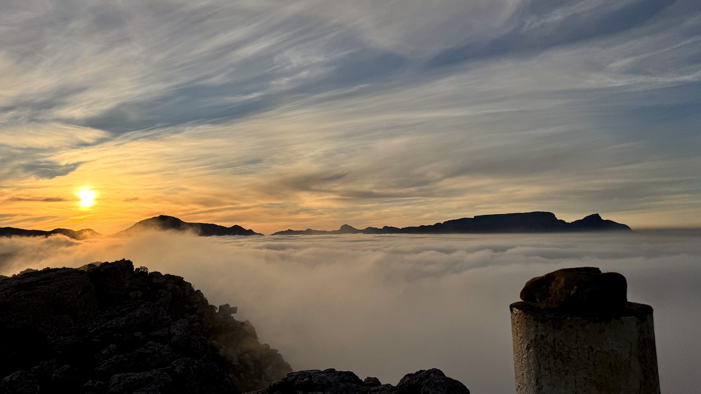
#1 Muizenberg Peak
Muizenberg, Cape Peninsula
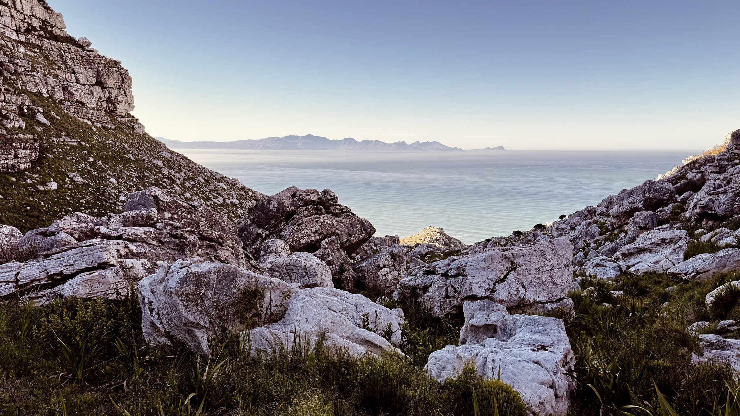
#2 Magic Forest
Echo Valley, Cape Peninsula
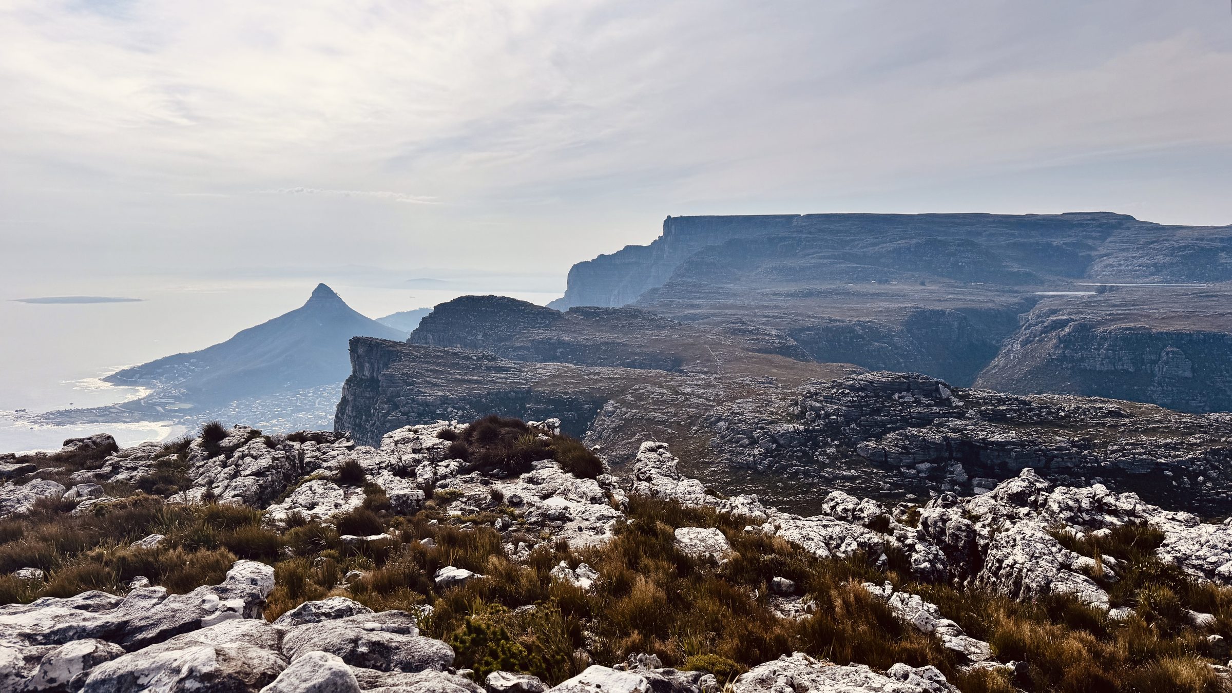
#12 The Groot Half
Constantia Nek, Table Mountain