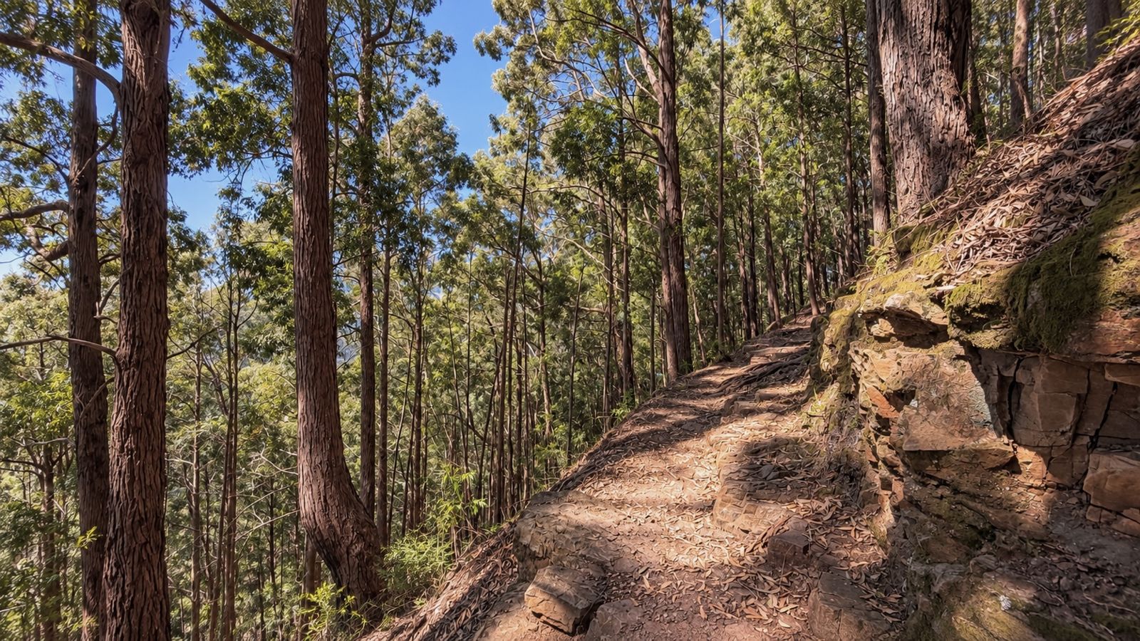
#5 Newlands Forest
An old Newlands favourite with fresh forest smells, shady trails and ravine crossings. Earn your elevation early, then settle into the contour path's runnable rhythm and stunning scenery before heading back through the forest.
Route information
Last verified · 1 November 2026
Why it made the challenge
Why we chose it
Another OG of Cape Town trail running, and an old favourite we couldn't leave out. Easy access, straightforward parking and a proper little mix of everything: fresh forest smells, shady trails, ravine crossings and stunning scenery along the contour path.
The warm-up isn't particularly kind. You earn your elevation early here. But once you reach the contour path, you can settle into your rhythm and enjoy the flow, moving between forest sections and open views. A good one to come back to, find your feet and see how much smoother it feels the next time around.
Scenic highlights
- Beautiful forest, fresh air and stunning scenery.
- A lovely runnable stretch along the contour path once the initial climb is behind you.
- Easy access and fairly straightforward parking.
- A popular trail, with other runners and hikers often around, which is reassuring company.
Key challenges
- The steep climb comes right at the beginning and can feel strenuous if you're new to trails. Take your time finding your rhythm.
- Keep an eye out for the Fernwood Track turnoff back down into Newlands Forest. It's easy to cruise straight past it.
Step-by-step navigation guide
- 0.0 km
Start
Start at the Newlands Forest trail board
Start your watch at the trail board and look for the Little Fort Trail on your right. Follow it for roughly 270 metres, then turn right. You'll soon join a wider gravel path. Continue along this until 1.95 km.
- 1.95 km
Keep left onto Newlands Link
At the fork, keep left onto Newlands Link. Follow it uphill all the way to the gate at roughly 2.6 km, where you join the contour path.
- 2.6 km
Join the contour path
The climb has earned you a change of pace. Follow the contour path, enjoying the stunning scenery as you cross little streams and ravines and move through different sections of forest.
Along the contour path
Find your flow
Fresh forest air, lovely views and a trail that lets you find your flow. Enjoy this bit.
- 5.8 km
Turn left onto Fernwood Track
As you cruise along the wooden boardwalk, look out for a small path on your left, leading down towards Newlands Forest. This is Fernwood Track, and it's easy to miss when you're happily in your running groove.
Follow the technical descent carefully. At roughly 6.3 km, it joins a wider gravel path. Continue downhill along the gravel path towards the start.
- 7.6 km
Finish
Keep right and finish at the trail board
At 7.6 km, keep right at the fork, then follow the path all the way back to the trail board to finish.
Important
Parking is easy and straightforward at Newlands Forest.
The steep climb comes early. Take your time finding your rhythm.
Keep an eye out for the turnoff back down into Newlands Forest, then take the technical descent carefully.
Patchy. Load the GPX onto your tracking device before you start.
- Route information is provided as a guide only.
- Conditions may change without notice.
- Always assess weather, trail conditions, route suitability, and your own abilities before setting out.
- Participants are responsible for their own safety and decisions at all times.
The record board for this route.
Verified completions only, one row per athlete using their best accepted attempt. Climb the board by returning and improving your time.
Loading…
Before you go
Practical details to help you complete the route safely.
No reliable drinking water on the route. Carry what you need.
Dogs allowed, permit required.
From the Trail
A little glimpse of the route through the eyes of the Cape Trail community.
Got a good one? Share your photos with us and we might add our favourites to the gallery.
Your photos will open in our shared Google Drive folder. By uploading them, you're happy for Cape Trail to select and feature them on this website and our social channels, with credit where possible.
Safety & responsible trail use
Cape Trail provides guidance, not guarantees. Please read before heading out.
Water sources shown on routes are seasonal and may be dry. Never rely on natural water sources, always carry sufficient water.
Trail conditions may change due to weather, erosion, maintenance work, fire, flooding, or other environmental factors.
Route descriptions and photographs are provided as guidance only. Users remain responsible for navigation and route-finding decisions.
Mountain weather can change rapidly. Users are responsible for checking conditions before starting.
Users participate entirely at their own risk.
Related routes
More trails in the challenge.
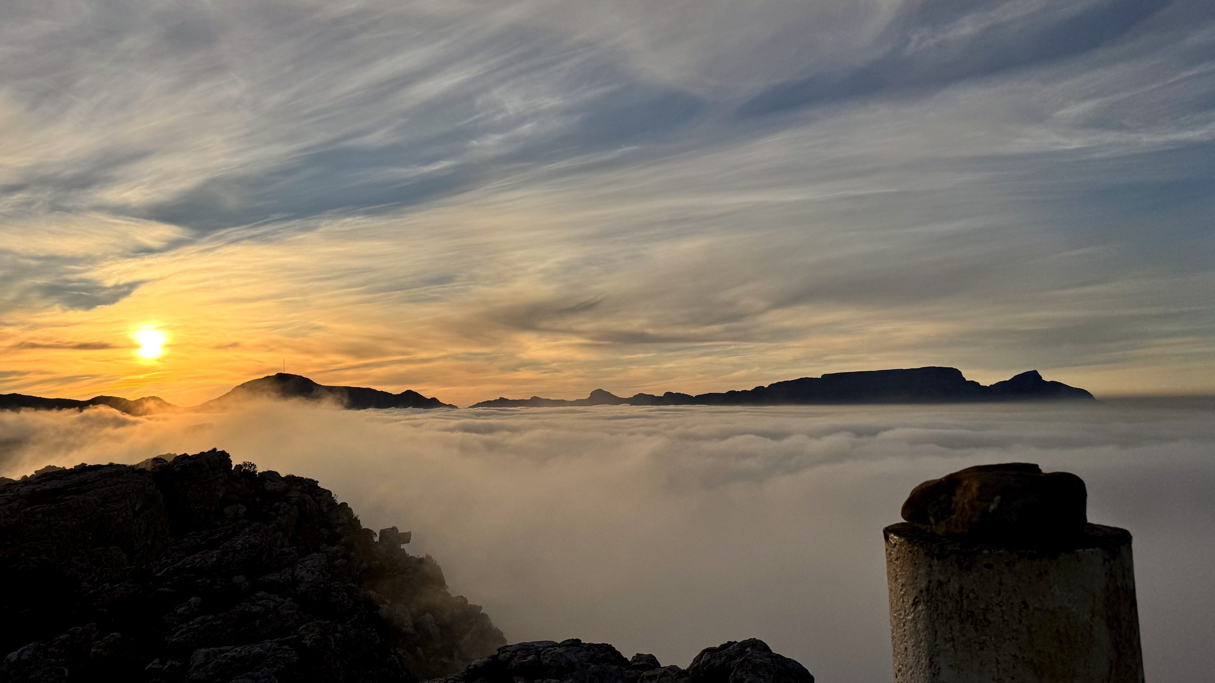
#1 Muizenberg Peak
Muizenberg, Cape Peninsula
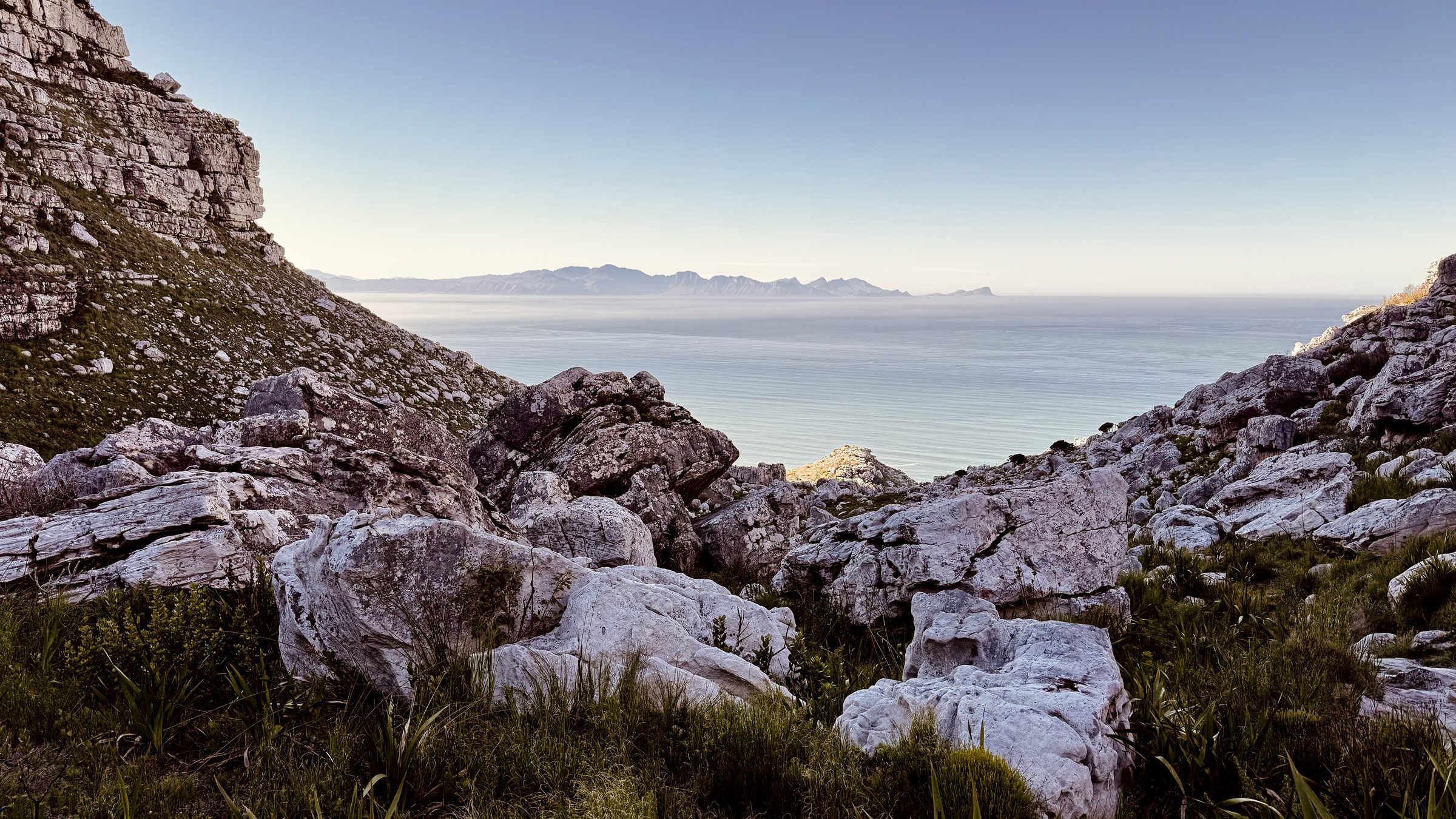
#2 Magic Forest
Echo Valley, Cape Peninsula
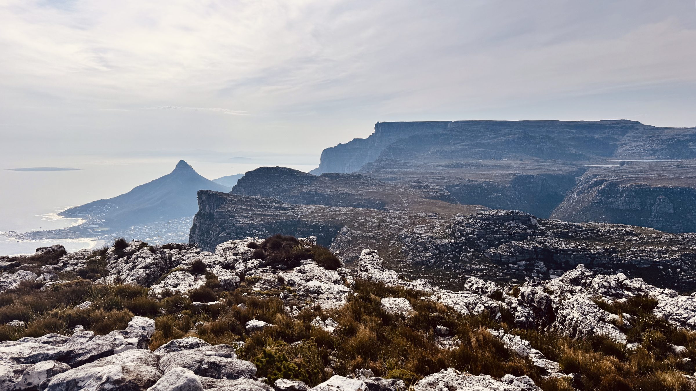
#12 The Groot Half
Constantia Nek, Table Mountain