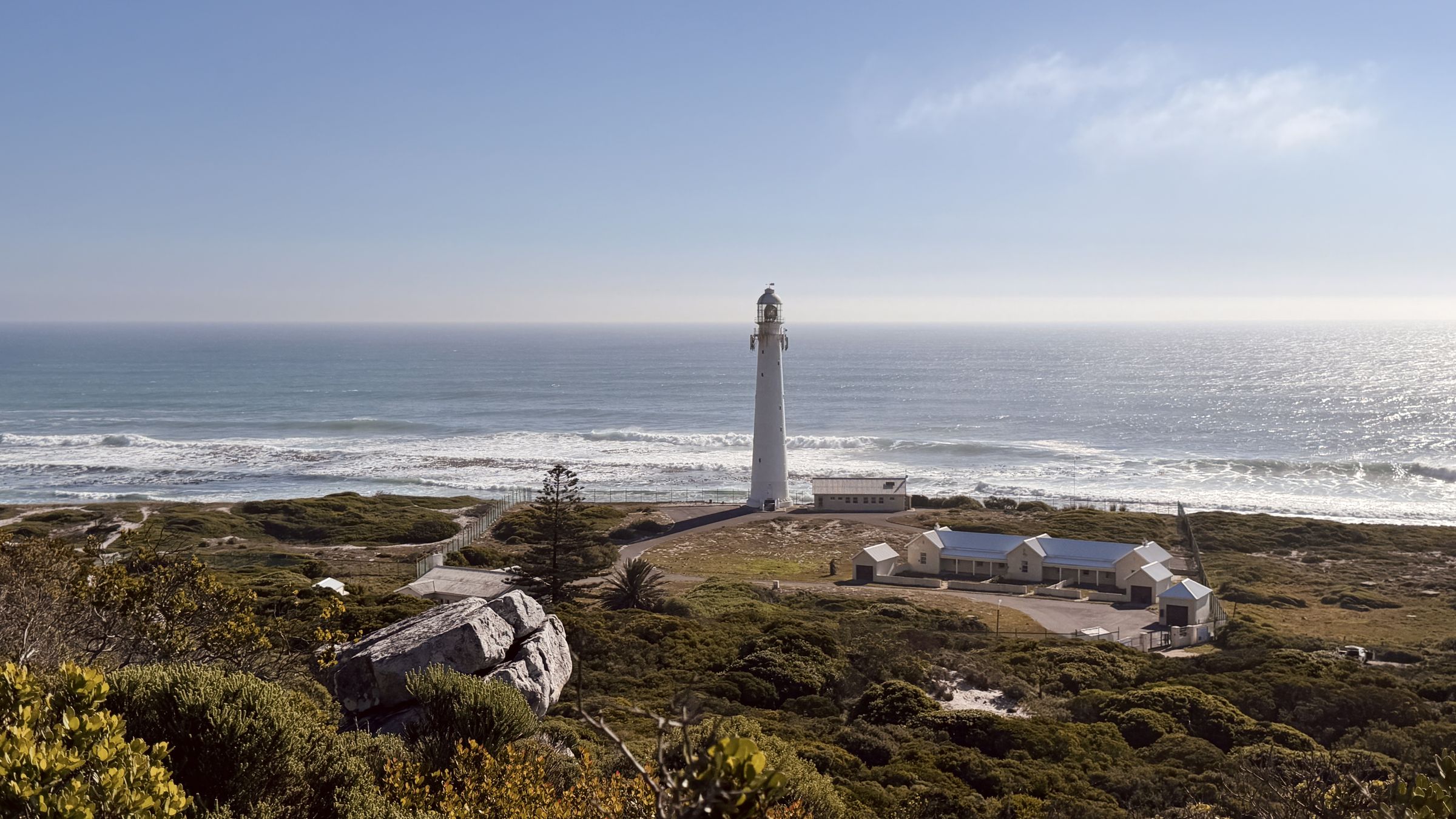
#4 KomRun Favourite
We asked our KomRun friends to share their local favourite, and this route has it all: a little bit of urban, a little bit of mountain and an absolutely gorgeous stretch of beach at the end.
Route information
Last verified · October 2026
Why it made the challenge
Why we chose it
Part of the fun of this challenge is exploring somewhere new, so we asked our friends at KomRun to share a local favourite. This one brings a little Kommetjie flavour to the mix, with a bit of mountain, a wander through the village and a gorgeous stretch of beach.
Come for the trail, stay for the day. Grab a coffee, have a swim or squeeze in a surf if the waves are good. A lovely excuse to explore beyond Table Mountain and get our Kommetjie friends in on the fun.
Scenic highlights
- A nice mix of urban and that Kommetjie vibe
- An absolute stunner of a beach
- Atlantic views
Key challenges
- A short, steep climb
- Wind exposure
- You can meet some baboons on the way
Step-by-step navigation guide
- 0 km
Start: KomSurf, Kommetjie
Park anywhere nearby and make your way to KomSurf. From here, head down Lighthouse Road towards the lighthouse.
- 0.76 km
Head uphill
After about 760 metres, look out for the path heading uphill towards the main road. Grab that path and start climbing.
- 1.1 km
Cross the main road
When you reach the main road, look to your right to spot the trail heading further uphill. Cross carefully, then follow it all the way up to the ruins.
- 1.8 km
Right at the ruins
At the ruins, take the path to your right and follow it as it contours along the hillside, roughly parallel to the main road. At around 2.7 km, turn right onto the parallel path and follow it back towards the ruins.
- 3.6 km
Back at the ruins
You’re back at the ruins! Take the path to your right and follow it until you reach the wide white path at around 4.8 km. Turn left here and follow it all the way downhill.
- 5.1 km
Back to the urban
You’re back in the urban area! Follow the road downhill until you reach the main Kommetjie Road. Turn left, then take the first right and follow the road all the way down to the river.
- 6.17 km
Follow the river
When you reach the river, turn left and follow the path alongside it all the way to the beach.
- 6.5 km
Beach time
Turn left at the beach and follow the sand until the route joins the beach path. Keep going to the beach parking area, then hop back onto the road and follow it back to KomSurf.
Stop your watch where you started. Don’t forget to publish your result to the Cape Trail leaderboard, and if you got some good photos out there, share them on Instagram or add them to the community photo folder below.
Route Highlights
A few more reasons to add this route to your list.
Important
- Route information is provided as a guide only.
- Conditions may change without notice.
- Always assess weather, trail conditions, route suitability, and your own abilities before setting out.
- Participants are responsible for their own safety and decisions at all times.
The record board for this route.
Verified completions only, one row per athlete using their best accepted attempt. Climb the board by returning and improving your time.
Loading…
Before you go
Practical details to help you complete the route safely.
Park anywhere nearby. There's parking right at KomSurf.
The slope is exposed to the wind, so take a layer when it's blowing. You can meet some baboons on the way, so keep food out of sight and never feed them. Let someone know your plan.
No drinking water on the route. Carry what you need, especially on hot days.
Good
Dogs allowed, permit required.
Daylight hours only.
SANParks Emergency: 086 110 6417
From the Trail
A little glimpse of the route through the eyes of the Cape Trail community.
Got a good one? Share your photos with us and we might add our favourites to the gallery.
Your photos will open in our shared Google Drive folder. By uploading them, you're happy for Cape Trail to select and feature them on this website and our social channels, with credit where possible.
Safety & responsible trail use
Cape Trail provides guidance, not guarantees. Please read before heading out.
Water sources shown on routes are seasonal and may be dry. Never rely on natural water sources, always carry sufficient water.
Trail conditions may change due to weather, erosion, maintenance work, fire, flooding, or other environmental factors.
Route descriptions and photographs are provided as guidance only. Users remain responsible for navigation and route-finding decisions.
Mountain weather can change rapidly. Users are responsible for checking conditions before starting.
Users participate entirely at their own risk.
Related routes
More trails in the challenge.
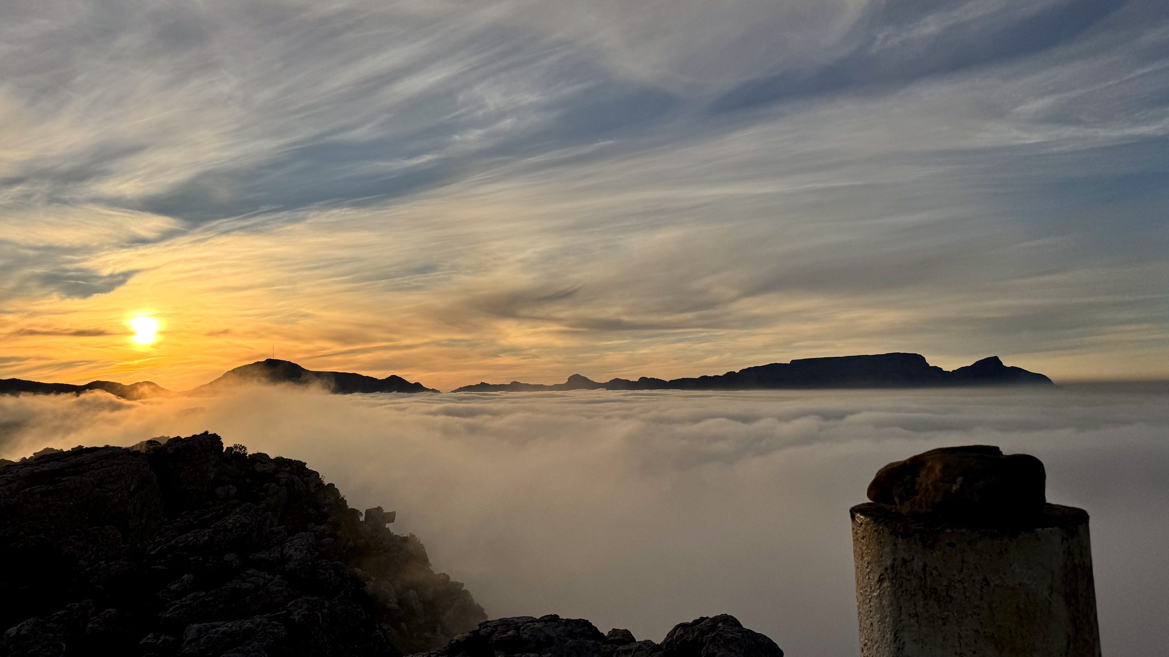
#1 Muizenberg Peak
Muizenberg, Cape Peninsula
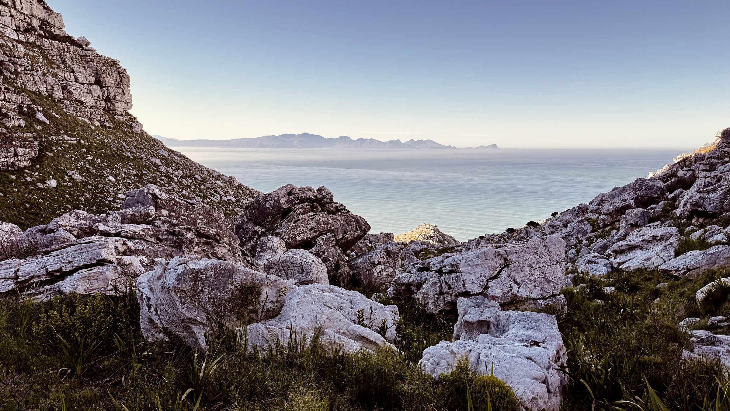
#2 Magic Forest
Echo Valley, Cape Peninsula
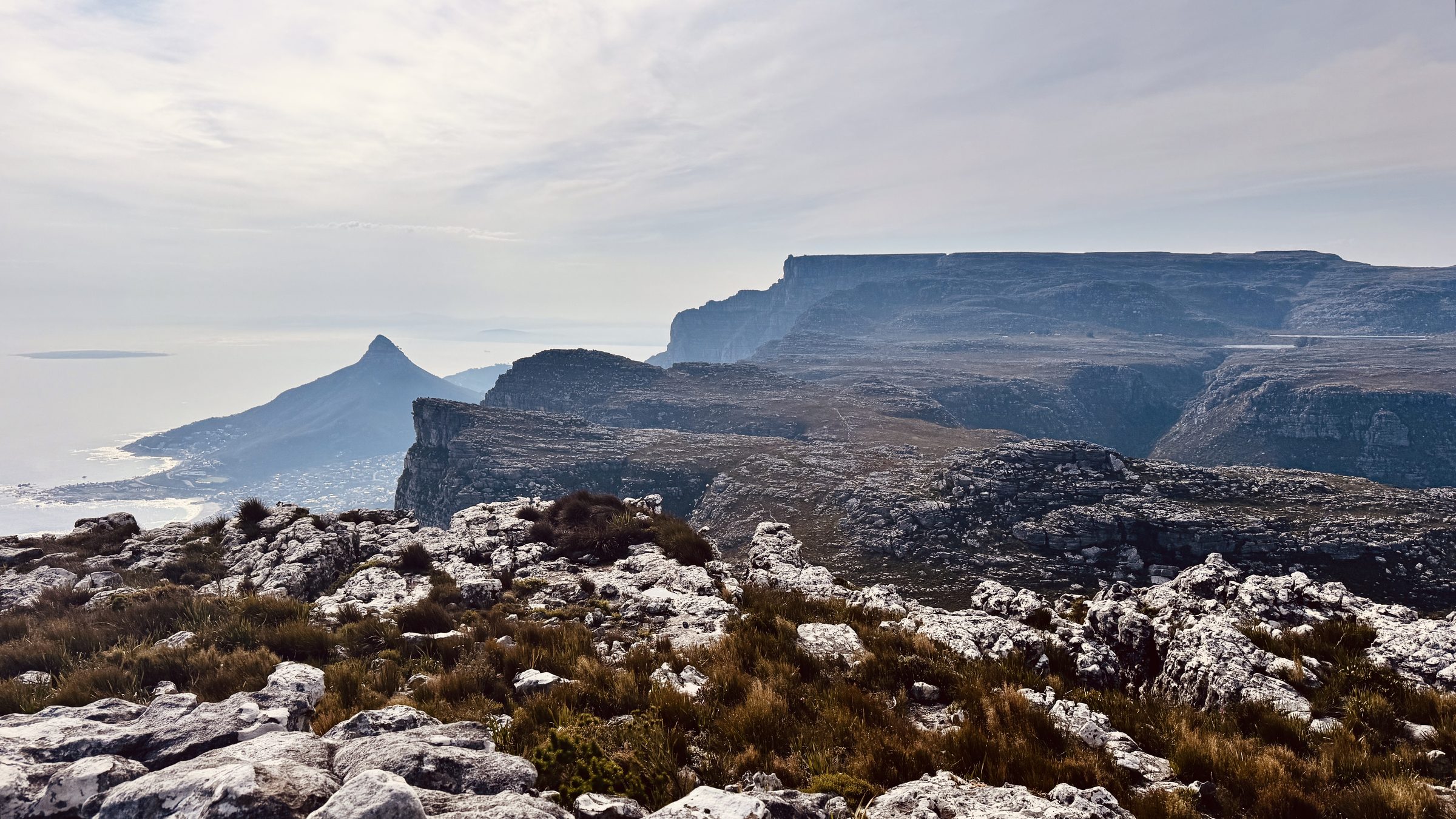
#12 The Groot Half
Constantia Nek, Table Mountain